
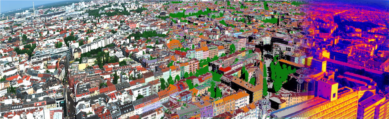
The Remote Sensing Lab (RSLab) operates within the Institute of Applied and Computational Mathematics of FORTH, with a primary focus on climate change and urbanization, the two global megatrends that transform human life and directly impact each other. Understanding Earth system processes, as well as the interaction effects of human activities, is widely recognized by the international scientific community as an urgent and critical research priority. Although the Lab's work spans both urban and natural environments, its core emphasis lies at the interface between Earth Observation (EO) and urban climate, exploring opportunities to link urban climate science with urban development and planning through EO in order to support decision-making for urban climate mitigation and adaptation across spatial scales.
EO is a rapidly evolving field of research and innovation, driven by technological advances
enabling smaller, cost-effective satellite platforms and constellations with improved
instrumentation and spatial/spectral/temporal resolution, alongside advances in airborne
hyper-spectral sensors, unmanned aerial vehicles and ground-based systems. These enhanced
observational abilities allow the monitoring of both the urban from and function, while
the growing need for climate change mitigation and adaptation in cities has brought the
urban environment into focus for research and innovation in the years ahead. EO's synoptic
perspective, global coverage, systemic revisit and consistent long-term observations make
it particularly valuable for capturing the dynamic nature of urban environments and their
multifaceted interactions with climate. RSLab is well positioned to shape emerging research
directions in strengthening multiscale urban climate modelling and advancing
the development of Earth Intelligence within the urban domain.
RSLab employs advanced machine learning methods to analyse big data from global satellite acquisitions, enabling the development of local scale applications on cloud infrastructures; generates multi sensor approaches for estimating energy and carbon exchanges between the urban surface and the atmosphere; operates in situ cal/val infrastructures in the city of Heraklion (including ICOS-labelled flux towers, wireless sensor networks, sun photometers, field spectroradiometers and phenocams); deploys unmanned aerial vehicles equipped with hyperspectral, thermal and optical cameras; develops spectral libraries of urban materials, based on field campaigns conducted in several European cities, to support the development of new EO based methods for urban resilience and urban planning; and establishes and optimizes methods for bridging multiscale thermal infrared observations to advance understanding of how urban systems interact with atmospheric processes across scales. It collaborates with experts worldwide in EO and urban climate, maintaining long standing interactions with local authorities and urban planners. It is also actively engaged in the EuroGEO Urban Action Group and contributes to the EU Cities Mission.
RSLab has coordinated and participated in international R&D projects funded by the European Research Council (ERC), the European Framework Programmes Horizon Europe, Horizon 2020 and FP7, the European Space Agency (ESA), the EU Agency for the Space Programme (EUSPA), as well as national funding sources. Beyond its research activities, RSLab leverages its scientific results to drive innovation and develop EO-based services, for the Hellenic Ministry of Environment, the Region of Crete, the Municipality of Heraklion, the French Bureau de Recherches Geologiques et Minières and the Hellenic Electricity Distribution Network Operator S.A. In addition, RSLab coordinates the development of Urban Analytics Services of the Greek National Satellite Space Programme.